Shallow Crossing: A Hidden Gem on the Clyde River — Your NSW South Coast Nature Escape
Tucked deep within the untouched wilderness of the upper Clyde River, Shallow Crossing is one of the NSW South Coast’s most atmospheric and soul‑stirring natural destinations. Just 30 minutes from Batemans Bay yet worlds away from the bustle of the coastline, this secluded riverside haven invites travellers to slow down, breathe deeply, and reconnect with the rhythms of the Australian bush.
Framed by towering eucalypts and surrounded by the vast Boyne, South Brooman, and Shallow Crossing State Forests, the area offers a rare blend of tranquillity, adventure, and pristine beauty. Whether you’re seeking a peaceful retreat, a family camping escape, or a base for outdoor exploration, Shallow Crossing delivers an unforgettable immersion in nature.
A Scenic Riverside Escape on the Clyde River
Shallow Crossing takes its name from the natural ford where the Clyde River glides over a rocky bed, creating a shimmering, shallow passage that has long captured the imagination of locals and travellers alike. During periods of heavy rain or high tides, the crossing becomes impassable—a powerful reminder that this is a true wilderness environment shaped entirely by nature.
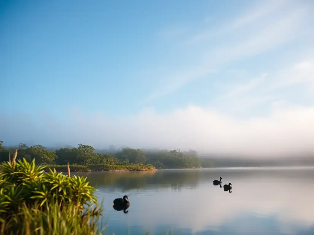
The river here is serene and glassy, reflecting the shifting colours of the forest canopy. Lyrebirds call from hidden gullies, kookaburras echo across the treetops, and the soft rustle of leaves accompanies the gentle flow of water. It’s a place where time seems to slow, inviting you to linger by the riverbank, dip your toes into the cool shallows, or simply sit quietly and absorb the stillness.
Things to Do at Shallow Crossing
Fishing
The Clyde River is renowned for its clean, tidal waters and thriving fish populations. Anglers can expect bream, flathead, estuary perch, and other species—perfect for a relaxed day by the water.
Bushwalking
With multiple state forests and national parks nearby, walkers can explore peaceful trails, spot native wildlife, and enjoy sweeping views of the river and surrounding bushland.
4WD Adventures
The network of forest roads around Shallow Crossing attracts four‑wheel‑drive enthusiasts seeking scenic drives, creek crossings, and light adventure through rugged terrain.
Birdwatching & Photography
From lyrebirds and black cockatoos to wallabies and goannas, the region is a paradise for wildlife lovers and photographers chasing dramatic light and untouched landscapes.
Camping
The riverside Shallow Crossing Camp Ground is a favourite for those wanting to stay close to the water. With shady sites beneath tall gums, easy access to swimming and paddling, and star‑filled skies at night, it’s an idyllic base for a nature‑immersed getaway.
Best Time to Visit
Shallow Crossing is beautiful year‑round, but each season offers something unique:
- Summer: Perfect for swimming, paddling, and long days by the river.
- Autumn: Mild weather, golden light, and ideal conditions for bushwalking.
- Winter: Crisp mornings, quiet forests, and excellent photography opportunities.
- Spring: Wildflowers bloom, wildlife is active, and the forest feels fresh and vibrant.
Because the crossing can become impassable after heavy rain, always check local conditions before travelling.
How to Get There
Reaching Shallow Crossing is part of the adventure. The area is accessible via two main routes:
- From the Princes Highway at East Lynne
- From the Kings Highway at Nelligen
Both approaches involve well‑formed dirt roads suitable for most vehicles in dry weather. After rain, conditions can change quickly, and the crossing itself may become unsafe. Travellers are strongly advised to check road and river conditions, especially during wet weather or high tides.
The journey winds through tall forests, past scenic lookouts, and alongside glimpses of the Clyde River—building anticipation as you approach this secluded natural haven.
Why Shallow Crossing Belongs on Your South Coast Itinerary
Shallow Crossing is more than a scenic river crossing—it’s a gateway to some of the South Coast’s most pristine landscapes. Its unique blend of forest, river, wildlife, and outdoor recreation makes it a rewarding stop for travellers exploring:
- The Clyde River region
- Batemans Bay
- Murramarang National Park
- The broader NSW South Coast
Whether you’re planning a day trip, a weekend escape, or a longer camping adventure, Shallow Crossing offers a refreshing mix of tranquillity and adventure that captures the wild, authentic beauty of the South Coast.